How We Helped Verify Water Points in Rural Tanzania with Ona, ODK, and OpenMapKit
Tanzania operates one of the world’s largest rural water schemes with over 80,000 public water points. To improve access to water in rural areas, DFID is supporting the Government of Tanzania through a payments-based results (PbR) scheme intended to incentivize local government authorities (LGAs) to maintain existing water points and build new ones where they are needed. This scheme is part of the twenty-year Water Sector Development Programme (WSDP), which aims to improve access to and sustainability of improved rural and urban water supplies.
Under a PbR scheme, an independent verification of results must be completed before payments can be triggered. Ona helped lead an independant verification team hired by DFID to compare the data reported by the Ministry of Water (basis for payment) against findings in the field. To achieve this we set up 20 enumerator teams that visited a sample of approximately 9,0000 water points across 56 LGAs. One of the unique challenges of the project was visiting specific water points from the sample (though not all points we came across) in order to capture relevant data. This required developing a technical solution that would allow our field enumerators to easily find specific water points in the field and then verify their existence and functionality — a task that can be very difficult in rural areas without streets or addresses.
To achieve this, Ona developed a technology strategy that combined three technical tools:
- Ona as the data server
- ODK Collect as the data collection app
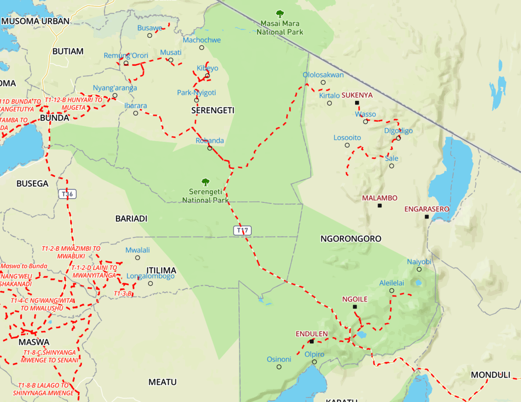
- OpenMapKit (OMK) for providing a reliable basemap, displaying water points, and helping with navigation to the water points
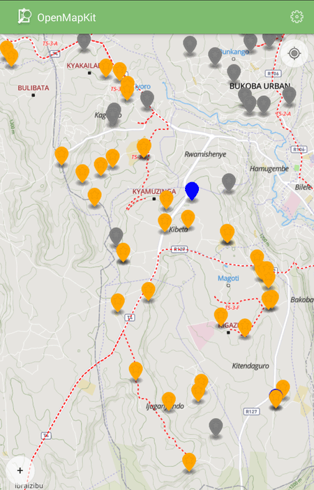
OMK interface showing water points on a map
Setup
Prior to field verification, we set up the aforementioned systems, installed software on phones, trained enumerators, and ran a pilot test.

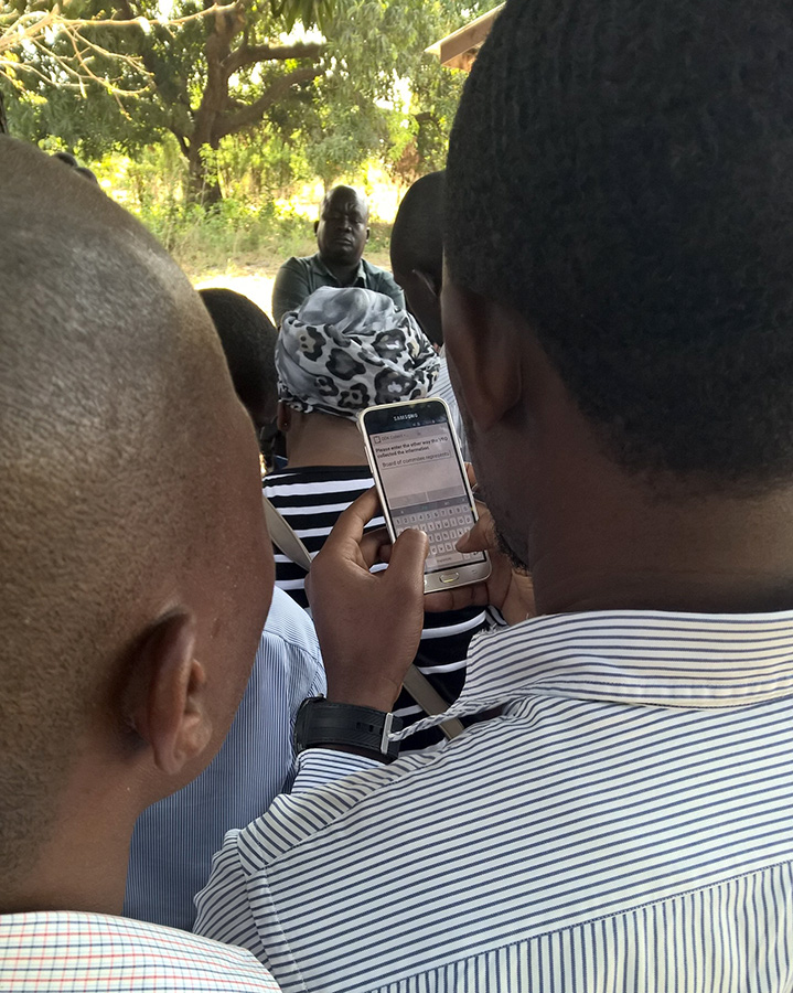
Enumerator training
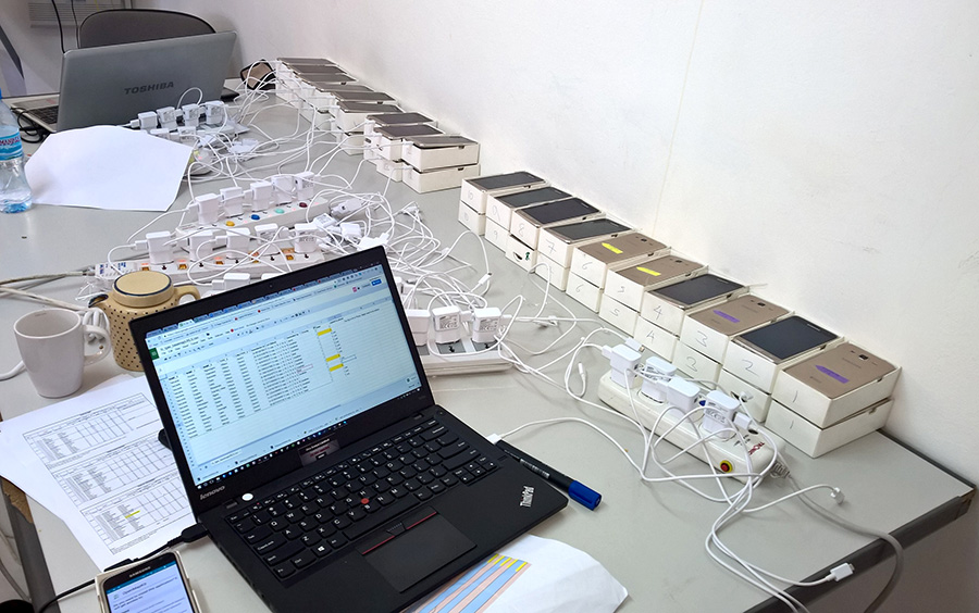
Phone setup station

Enumerators reviewing manuals while in transit
Enumerators interviewing the VEO (Village Executive Officer) during the pilot test
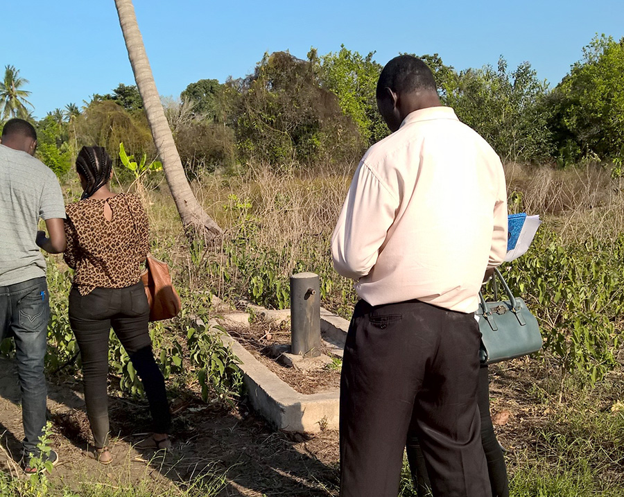
Enumerators verifying a water point during the pilot test
Field Verification Monitoring
The field enumeratation teams, were broken up into teams of two including a driver. Each had a smartphone with offline maps and a detailed route schedule and map.
The route map that was printed for enumerators
To ensure high-quality data, we had three levels of data collection monitoring. First, enumerators were required to report on their progress. We created a RapidPro flow so this report could be done via SMS. Second, as submissions were uploaded, data monitors examined water points using Ona’s map visualization and reviewed pictures to match them with previously-collected sample data. Third, we created an R Shiny Apps dashboard that showed whether points were verified or not. The dashboard pulled data from Ona using the Ona Plugin for R.
In a period of 5 weeks, we were able to find and verify over 90% of the water points in our sample. This allowed the independent verifiation team to provide a detailed assessment to DFID and the Ministry of Water of the state of public water access in Tanzania. The combination of OpenMapKit with Ona provided a perfect solution to the challenge of visiting specific rural water points. We are excited to develop the strategy out further in future projects. If you are interested in learning more of how we did this please email us.