High-resolution satellite basemap new in Ona maps
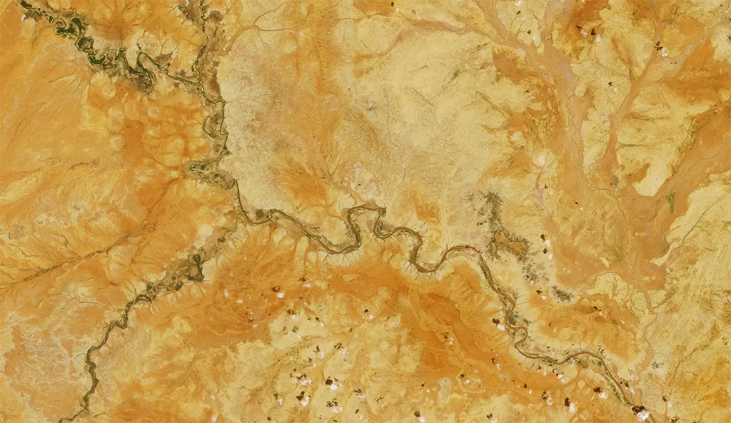
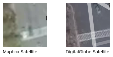
We are excited to announce the addition of a high-resolution satellite basemap from DigitalGlobe. This will provide over 150 million square kilometers of the earth’s surface in astonishing clarity. DigitalGlobe offers the highest resolution (it’s the only company that offers 30 cm resolution imagery) and most up-to-date satellite imagery available on the market. It’s a big investment, but one we are happy to make if it helps our users see the world more clearly.
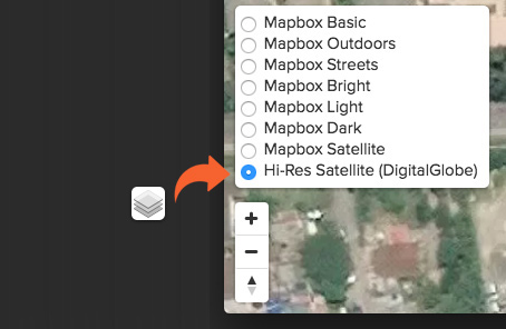
To access the high-resolution basemap, go to the map tab on a dataset. Find the basemaps icon on the lower left and select High-Res Satellite (DigitalGlobe).
Here are a few more pictures from the high-resolution maps:
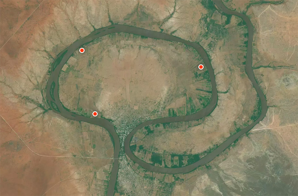
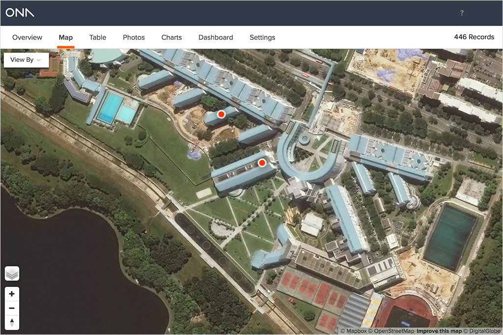 A closeup of a facility in Singapore